Trail Navigation in Nepal: Avoiding and Handling Getting Lost
How trekkers get lost on Nepal's teahouse trails, how to navigate with offline maps and local signs, what to do the moment you realise you are lost, and how routes with choices, fog and junctions change the odds.
Most trekkers who lose their way on a Nepal teahouse route do so at a junction, in fog or at the end of a long day, and most find the trail again within the hour. Carry an offline map and a paper sketch, ask at each lodge about the next stage and the junctions, and if you realise you are lost, stop, think, observe and plan before you move: go back to the last point you were sure of, and call for help if it is getting dark or the weather is closing in. The UK FCDO says not to trek alone, and a guide is the simplest protection. This guide shows how people lose the trail, how to navigate with what you have, the steps to take when you are lost and how to avoid getting there.
This is general safety advice, not a navigation course. If you plan a remote route or a restricted area, hire a guide: our guide rule explained sets out when it is required.
رحلات مفتوحة في Annapurna Circuit Trek
رحلات حقيقية نشرها متنزهون يبحثون عن شركاء.
How people get lost on the trails
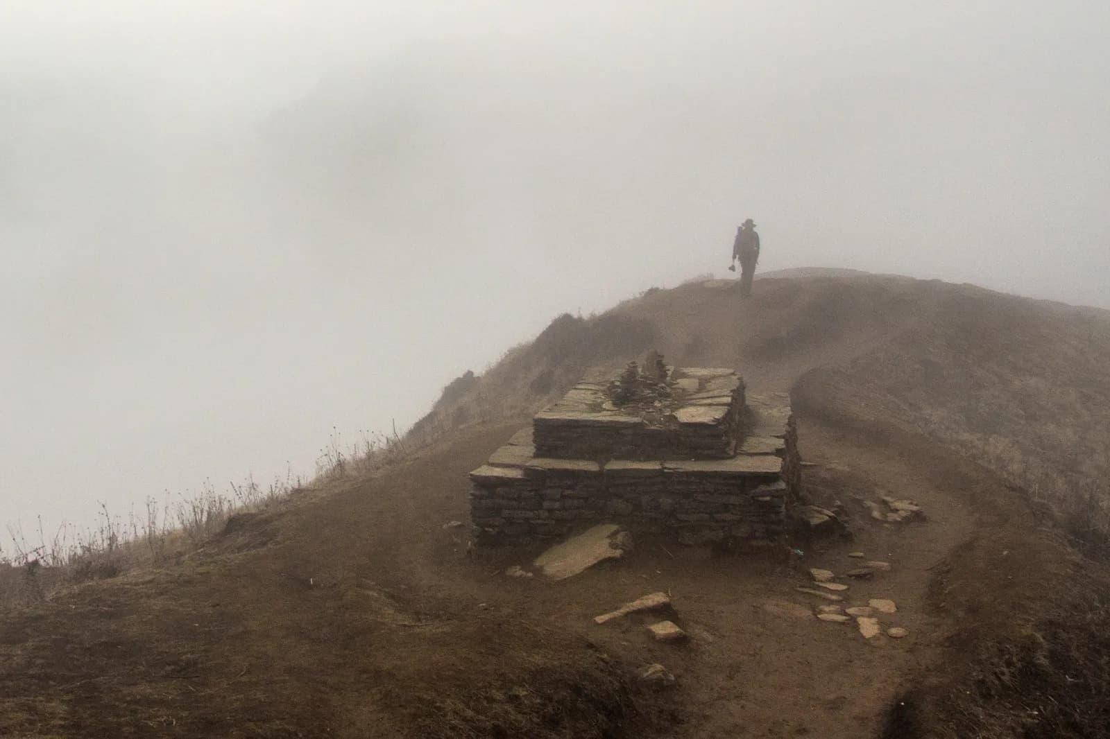
Nepal's popular trails look easy on a map, but a few things go wrong again and again. Junctions where a side path leads to a village, a yak pasture or a herders' hut are not marked, and the main trail, worn by pack animals, can look like a minor track when you are tired. Fog and cloud, common in the afternoon at middle altitude, hide landmarks. Fresh snow covers marks and footprints. Landslides and bridge washouts change routes, and local detours are not on the map. Tracks made by herders and animals criss-cross slopes. Finally, many trekkers walk apart from the group, in a long line, and take a wrong fork because they follow someone ahead who has taken one. A foggy ridge, such as the one on the trail to Ghorepani, is a classic place to lose a path for an hour, even on a well-travelled route.
Routes with choices
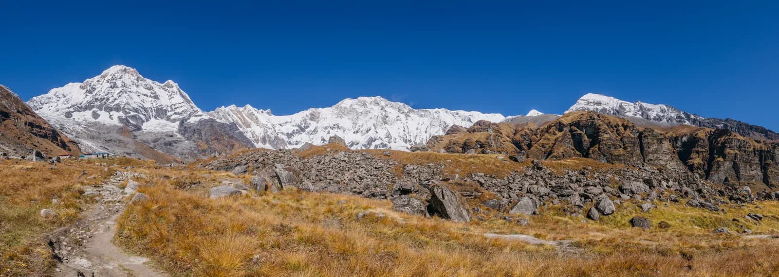
Some routes ask more of you. The Annapurna Circuit offers choices such as the upper route from Upper Pisang to Ngawal, which our route notes describe as having views of Annapurna II, and the lower route; the Poon Hill trail has a web of steps and side paths around Ghorepani and the viewpoint; the Langtang Valley has a clear main valley but side trails to pastures and lakes. Day hikes from a lodge, such as the sunrise climb to Poon Hill or the hike to Kyanjin Ri at 4,773 m, are done in the dark or in the cold, which is when mistakes are made. If you plan a variation, tell the lodge and your guide, and agree a turnaround time.
Tools: offline maps, paper and local knowledge
Download an offline map of your route before you leave Kathmandu, and check that it works in airplane mode. Mark your start, your lodges and the main junctions. Carry a power bank and keep the phone warm, because cold drains the battery quickly. Make a paper copy: a simple sketch of the day's stages with village names, times and altitudes is enough, and does not run out of power. Photograph signposts and the route board in each village. Ask the lodge owner each evening: "Which way tomorrow? Where does the path split? How long to the next lodge?" Local people know the trail and the weather and are glad to help. The UK FCDO recommends using a reputable agency and checking forecasts, and our partner safety guide suggests that everyone in the group has the route and the next lodge's name.
Good habits that prevent getting lost
Keep the group within sight at junctions and wait for the slowest person. Do not follow strangers on a different fork without checking. Look back at junctions to learn what they look like from the other direction, because you may be coming back this way. Note landmarks: a bridge, a large boulder, a chorten or mani wall. Check the time and the daylight: aim to reach your lodge by mid-afternoon, since fog and darkness make navigation harder. Do not take a shortcut across a slope you do not know. If the trail has been washed away, stop and ask rather than improvising a route across a landslide; see landslides and flooded rivers.
If you think you are lost: STOP
Use the old acronym. Stop: do not keep walking and make it worse. Think: when did you last see the trail, a marker or a person? How long ago? Observe: look around, check the map, listen for voices or bells, check the time and the weather. Plan: decide to go back to the last known point, if it is close and safe, or to stay where you are if it is not. If you are on a route that you can retrace, going back to the last known junction is usually right. If it is getting dark, if fog or snow is coming in, if someone is hurt or if you cannot find the way back, stay put, put on warm clothes, sit out of the wind and call for help. Do not descend a steep, unfamiliar slope in poor visibility.
Signalling and calling for help
If you have a signal, call your guide, agency or the numbers in our emergency numbers guide and give your last known position, the time and your plan. If you have no signal, use a whistle: the international distress signal is six blasts in a minute, repeated, and an answer is three. Shout at intervals, not continuously, to save your voice. Keep a headtorch and use it in the dark: three flashes repeated. Make yourself visible with a bright jacket or a pack on a rock. Tell the others in your group where you are and that you will stay. Keep warm and conserve your water and food. The Tourist Police number (1144) is for police matters in the cities, as the Department of Tourism page explains; for a lost trekker on the trail, the guide, lodge, agency and insurer are the first calls.
Guides, restricted areas and the rule
A licensed guide through a registered agency is required in restricted areas (Department of Immigration) and, under the Nepal Tourism Board rule of April 2023, in national parks and conservation areas, where 2026 operator reports say checkpoints enforce it in Annapurna and Langtang but not in Khumbu (checked 19 October 2026). The practical lesson is that a guide who knows the trail is the best navigation tool you can have, even where the rule is reported not to be checked. See the guide rule by region for the full picture. If you trek without one, tell your lodge each night where you are going and when you expect to arrive; the lodge will notice if you do not.
With partners
Agree before day one how you will manage junctions and fog: the group waits at every fork, the slowest person walks second, nobody walks out of sight on poor-visibility days and everyone has the route on their phone and on paper. If you do get separated, our separation guide has a full plan, and when to turn back covers the weather rules. If you are looking for partners, the Poon Hill and Annapurna Circuit partner pages are a good start, and the partners and safety hub lists the rest of the series.
A five-minute navigation habit
Each evening, spend five minutes with your guide or the lodge owner and your map. Ask three questions: where does tomorrow's trail start, where does it split and how long to the next lodge? Mark the splits on your offline map and sketch them on paper. In the morning, check the weather and the time you plan to be at each landmark. During the day, glance at the map at every village, bridge and junction and say aloud where you are. This habit takes seconds and means that a wrong turn is noticed after ten minutes, not two hours. It also gives your partners a shared picture, so that nobody follows a leader who may be wrong.