Makalu Barun region guide: park, valley and trek
A practical guide to the Makalu Barun region: the national park, the Barun valley, the Tumlingtar and Seduwa access, the Shipton La, seasons, lodges and who the trek suits.
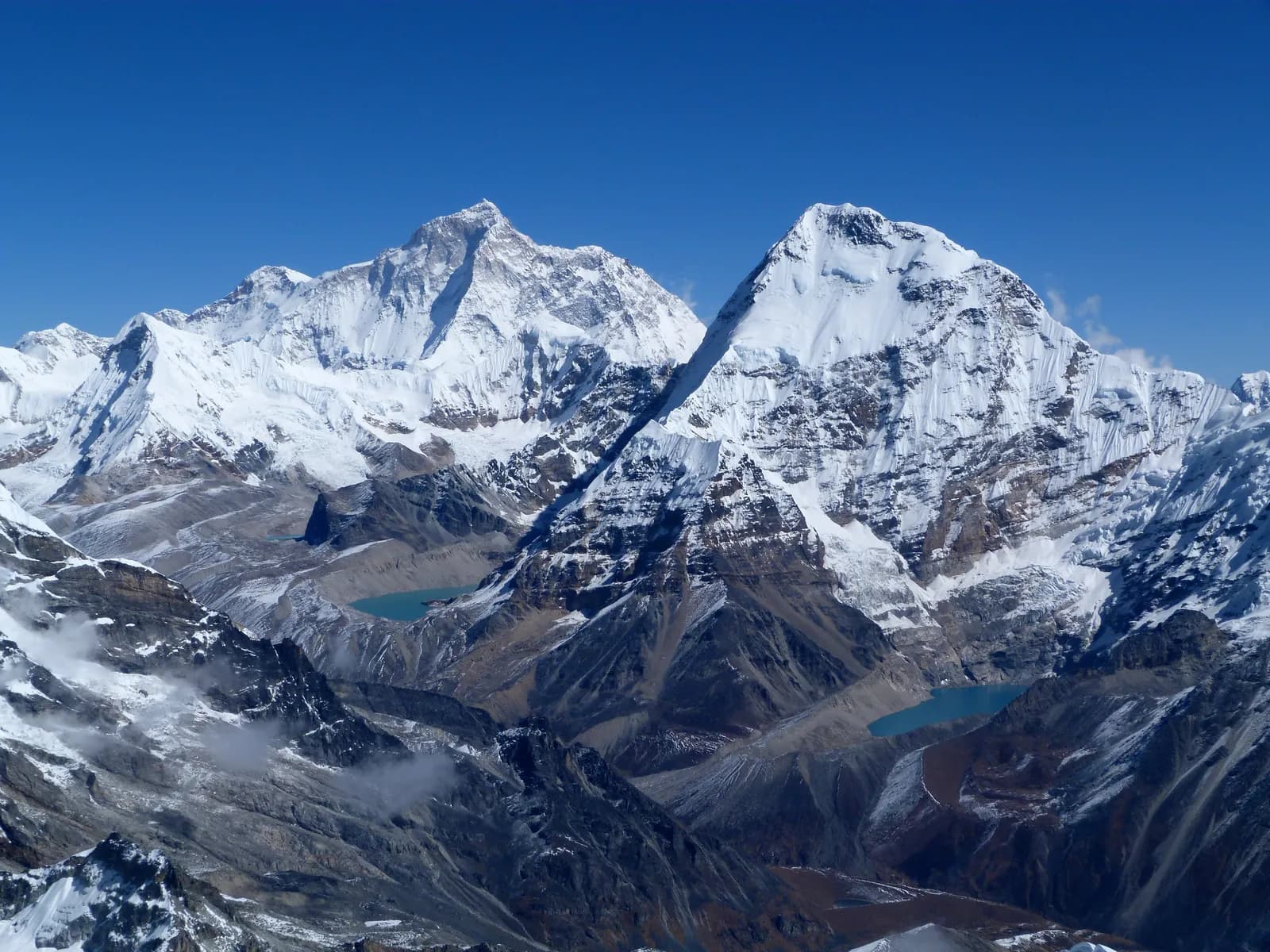
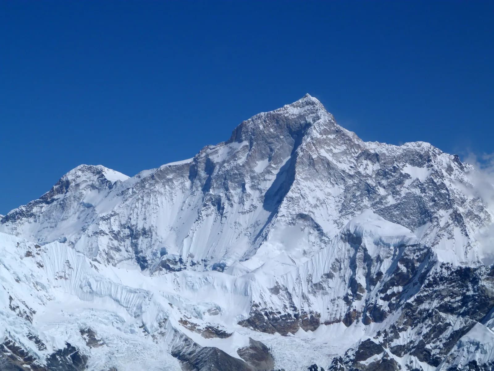
The Makalu region is the Barun valley of Sankhuwasabha District in eastern Nepal. Its classic trek is a 16-day round trip from Kathmandu: a flight to Tumlingtar, a drive to Seduwa (about 1,600 m), a steep climb to Khongma Danda (3,600 m), a crossing of the Shipton La (about 4,250 m) and a walk along the Barun Khola to Makalu Base Camp at about 4,830 m. Makalu itself is the fifth-highest mountain in the world at roughly 8,480 m, and the trek sits inside Makalu Barun National Park, so you need the park permit and a guide is strongly advised. It is a hard trek with steep climbs, simple lodges and few other walkers, best in October and November or from March to May.
This guide covers what the park is, how the route is shaped and who will enjoy it. Day-level detail is on the Makalu Base Camp route page, and the Makalu region page is the reference for the data used here.
Chuyến đi đang mở tại Makalu Base Camp Trek
Các chuyến đi thật do người trekking đăng để tìm bạn đồng hành.
The park and why it is unusual
Makalu Barun National Park was established in 1992 as the eastern extension of Sagarmatha National Park. It covers about 1,500 km2 across Solukhumbu and Sankhuwasabha, with a buffer zone of around 830 km2, and it is often described as the only protected area where the elevation gain from valley floor to summit exceeds 8,000 m. The Arun valley floor sits at about 400 m. That range is why a single walk takes you from near-tropical forest to alpine meadow and moraine.
The Barun valley itself is a strict nature reserve, the first in Nepal, so camping and use of the upper valley are tightly controlled. In practice this means you go with an agency that holds the right permits and follows the park's rules on where tents can go. It also means there are no permanent villages in the upper valley, only yak pastures (kharka) and seasonal teahouses.
What the walk is like
Day 3 is easy: a climb of about 530 m through rhododendron, oak and bamboo forest from Seduwa to Tashigaon, a Rai village on a ridge at about 2,120 m. Day 4 is the one people remember. The route is only about 6 km but gains about 1,530 m to Khongma Danda, with lodges on a ridge and views of Makalu, Chamlang and Baruntse. Day 5 follows the ridge and crosses the Shipton La at about 4,250 m before dropping to Dobate at about 3,860 m. From there the Barun Khola leads through fir and birch forest to Yangle Kharka (about 3,630 m), then Langmale Kharka (about 4,440 m) and finally base camp, where the route page schedules a rest day.
The return is the same way in shorter days, with the long knee-testing descent from Khongma Danda to Tashigaon dropping about 1,550 m in about 6 km.
Who the trek suits
The route page rates it hard, and the reasons are specific. The climb to Khongma Danda is steep early on, lodges are basic, there are few other trekkers, and a few nights are above 4,000 m. It suits people with some multi-day experience who like quiet trails and are comfortable without many comforts. It does not suit someone who wants a social trail with bakeries and Wi-Fi, or who has never slept above 3,000 m. If you want an easier first remote trek, the Annapurna foothill treks are a better step.
Getting there
The quickest route is a Kathmandu to Tumlingtar flight followed by a jeep drive of 4 to 5 hours through Khandbari and Num to Seduwa. The pack gives the flight as about 45 minutes, while airline and booking sites we checked quote roughly 30 to 35 minutes, so treat anything in that range as normal. Buddha Air describes Tumlingtar as the main gateway to the Makalu trek on its Tumlingtar route page, and schedule sites disagreed on whether it flies daily or seven times a week, so confirm the frequency for your dates. Flights are weather dependent and sometimes cancelled in the monsoon.
If the plane does not fly, a night bus or jeep from Kathmandu to Khandbari via Biratnagar or Hile takes around 20 hours. At the end the jeep returns from Seduwa to Tumlingtar, so schedule the flight home for the next morning.
Seasons
October is the best month, with settled weather, clear views of Makalu and Chamlang and the Rai harvest in the lower villages. November is colder and very clear, with frozen mornings at Yangle Kharka and Langmale Kharka, and fewer lodges open. April is the spring peak with rhododendron and magnolia, and the pass is usually open. March can leave snow on the Shipton La, May is warm with afternoon cloud and leeches appear in the lower forest late in the month. The monsoon from June to August brings heavy rain, leeches and slides on the Num road, so the pack does not recommend it. Winter has deep snow on the pass and is for experienced trekkers with camping support.
Lodges and food
Lodges at Seduwa, Tashigaon, Khongma Danda, Dobate, Yangle Kharka and Langmale Kharka are basic: wooden rooms, blankets, dal bhat, noodles and tea. Hot showers are rare above Tashigaon, and meals cost more every day you climb. Rai villages in the lower valley sell millet beer (tongba) and homemade raksi, which are best avoided at altitude. Bring snacks and small notes, because there are no cash machines beyond Khandbari.
Rules and permits in outline
You need the Makalu Barun National Park entry permit, and a TIMS card where the local office asks for it. The Nepal Tourism Board April 2023 rule requires a licensed guide in national parks and 2026 operator reports say checkpoints enforce it (checked 19 October 2026), and on this trail a guide is sensible anyway. Our Makalu Barun permit guide explains the permit position, and the guide rule explainer covers the wider rule.
Culture and nature
Rai, Sherpa, Bhotiya, Gurung and Chhetri families live in the villages below Khongma Danda, farming millet, maize and cardamom. The Rai celebrate Sakela, a harvest dance in spring and autumn, and the Barun valley is sacred to local people, so visit respectfully. The park records more than 3,000 species of flowering plants, including 25 of Nepal's 30 rhododendron species, 48 primulas and 47 orchids, and about 440 bird species. Snow leopard, red panda and Himalayan black bear live there, though most trekkers see only birds, langur and perhaps tahr above the tree line.
Safety
The nearest hospital is in Khandbari. A rescue helicopter can reach the upper valley in good weather, which needs insurance that covers it and a guide who can call for help. Trails near the Shipton La can be icy in spring and late autumn, and leeches are common in wet months, so carry salt or repellent and wear gaiters. Do not cross the pass alone, and turn back in storms. Read altitude sickness basics before you go.
Combining and extending
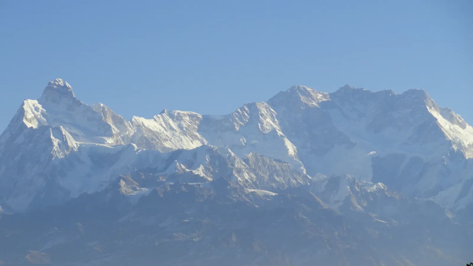
The region page notes that Makalu is often joined to the Everest region by the Tutu La and Hunku routes, or to Kanchenjunga by a long road trip through the east. Both crossings need technical skills, a full camping crew and the right permits, so they are a second-trip idea rather than an add-on. Shorter additions are a day or two around Khandbari or the Basantapur ridge, which has views of Makalu and Kanchenjunga on a clear morning.
Responsible trekking
Stay on the trail, camp only where your agency has permission, take rubbish out and use a filter instead of buying bottled water. Do not light fires or cut wood in the Barun valley. Ask before photographing people, and walk clockwise around chortens and mani walls.
Planning next steps
If you are weighing this against its eastern neighbour, read Kanchenjunga versus Makalu. For the day plan, see the Makalu itinerary, and for the other regions, return to the regions guide.