Sagarmatha National Park guide: what the park is and how it works
A guide to Sagarmatha National Park itself: its size, elevation range, buffer zone, wildlife, Sherpa communities, the Gokyo wetland, park rules and what trekkers should do to protect it.
Sagarmatha National Park is the protected area that contains Mount Everest and almost every trail of the Everest (Khumbu) region. It was established on 19 July 1976, covers 1,148 km2 in Solukhumbu District, and runs from about 2,845 m at Monjo, where the park gate stands, to the summit of Everest at 8,848 m. In 1979 it became a UNESCO World Heritage Site. Trekkers pass the gate at Monjo on day two of the standard plans, with a permit of NPR 3,000 as of October 2026, and stay inside the park until they walk out again.
This guide is about the park as a place and an institution: its shape, wildlife, people and rules. For the route decisions use the Everest region trekking guide, and for the permits themselves see Sagarmatha National Park entry and the Khumbu local permit.
ทริปที่เปิดรับใน Everest Base Camp Trek
ทริปจริงที่นักเทรคโพสต์เพื่อหาเพื่อนร่วมทาง
Shape and numbers
The park contains the upper catchment of the Dudh Koshi and Bhotekoshi rivers and the Gokyo Lakes. To the north it borders the Qomolangma National Nature Preserve in Tibet, to the east Makalu Barun National Park, and to the south it extends to the Dudh Koshi river. Besides Everest, peaks above 6,000 m inside the park include Lhotse, Cho Oyu, Thamserku, Nuptse, Ama Dablam and Pumori.
The land is mostly rock and ice. According to the park summary, barren land above 5,000 m makes up 69 percent of the area, grazing land 28 percent and forest only 3 percent. The climate runs from temperate and subalpine above 3,000 m to alpine above 4,000 m, which is the upper limit of vegetation, and the nival zone starts at 5,000 m. That arithmetic explains two things trekkers notice: why there is so little wood above Namche, and why the walking changes so abruptly from forest to moraine.
A buffer zone of 275 km2 was added in January 2002, with priority given to forests, wildlife and cultural resources, and to alternatives to wood fuel. The park is part of the Sacred Himalayan Landscape.
Where the park starts for a trekker
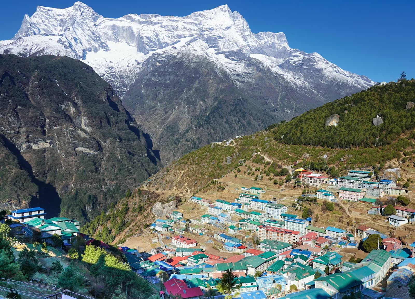
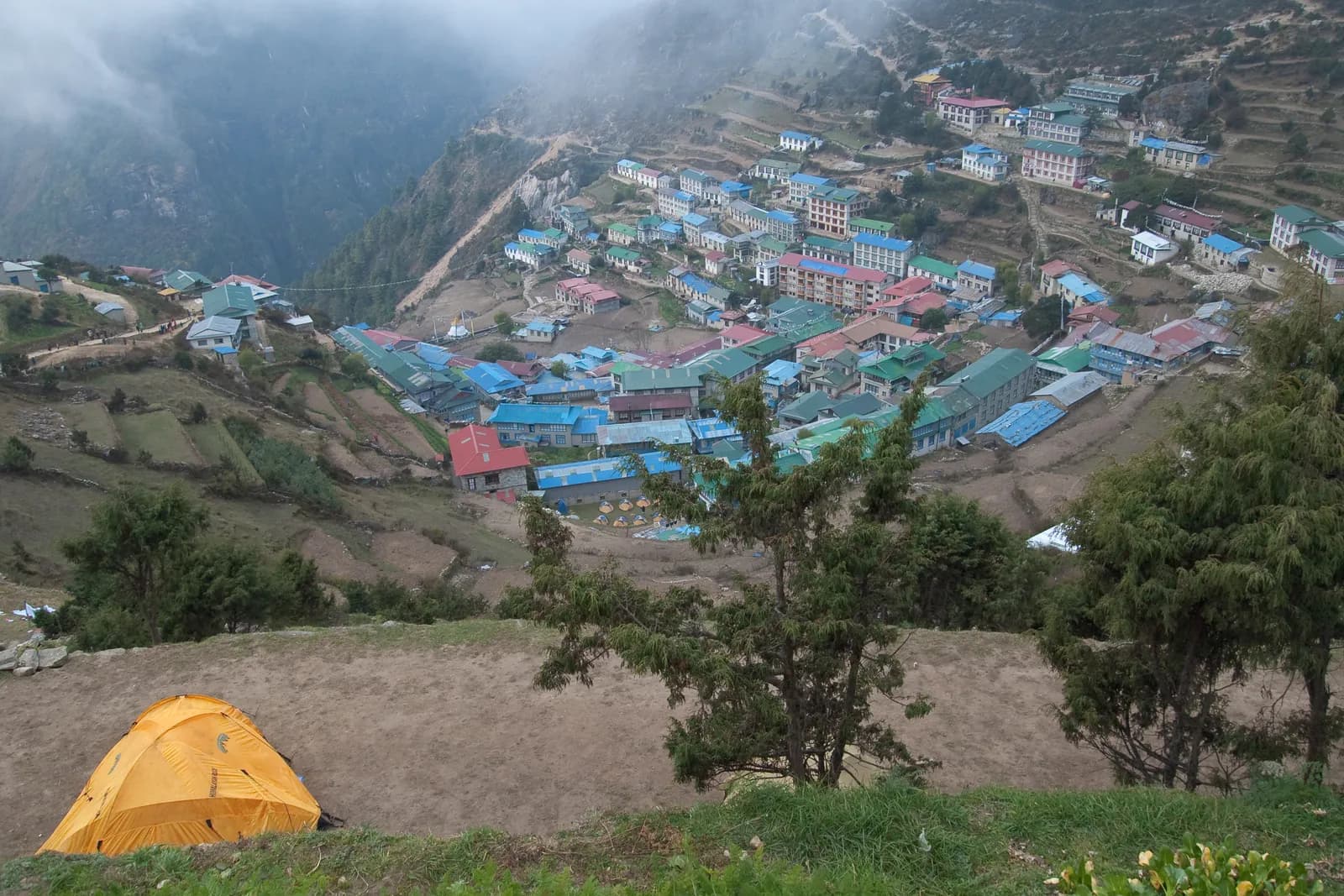
Most people fly from Kathmandu to Lukla (2,846 m) and walk down the Dudh Koshi valley. The park gate and permit check stand at Monjo, at the park's lowest elevation, on the walk up from Phakding. Beyond it the trail passes Jorsale, crosses the Hillary Bridge and climbs for roughly two steep hours through pine forest to Namche Bazaar at 3,440 m, which is the administrative and trading centre of the park. If you are following the Everest Base Camp route, you walk the same path to Namche as the Gokyo Lakes route does, and only branch at the ridge above the town.
As of October 2026 the Sagarmatha National Park entry permit is NPR 3,000 for foreigners per entry (NPR 1,500 for SAARC nationals, children under 10 free), and it is issued at the Nepal Tourism Board in Kathmandu or at the park gate in Monjo. A second, local permit is bought separately; our permit guide explains how the two relate.
Wildlife you can realistically see
The park records more than 1,000 species of flowering plants. In the subalpine belt the forest is fir, Himalayan birch and rhododendron, juniper and rhododendron prevail between 4,000 and 5,000 m, and mosses and lichens grow above 5,000 m.
Among animals, Himalayan tahr, Himalayan serow and musk deer are the ungulates; the tahr are often seen on slopes near the trail. The park has been designated an Important Bird Area with 208 recorded bird species, including the Impeyan pheasant (the colourful Himalayan monal), bearded vulture, snowcock and alpine chough. The snow leopard lives above 3,500 m but is very rarely seen, and the Indian leopard roams the lower forests. Keep your distance from yaks and mules on the trail and stand on the uphill side when trains pass.
The people inside the park
The valleys are the homeland of the Sherpa people, who came over the passes from Tibet several centuries ago and run most of the lodges, yak herds and monasteries. As of 2005, about 3,500 Sherpa people lived in villages and seasonal settlements along the main tourist trails, according to the park summary, and the number of visitors has grown a great deal since tourism began in the early 1960s. In 2003 about 19,000 tourists arrived.
The Sherpa are Tibetan Buddhists of the Nyingma school, and the landscape carries the evidence: mani walls, chortens, prayer wheels turned by streams, and monasteries such as Tengboche, founded in 1916 and rebuilt after a fire in 1989. Khumbila, above Khumjung, is regarded as a protective deity, and climbing it is forbidden. Read Sherpa culture on the Everest trail for the etiquette and monastery etiquette, prayer wheels and mani walls for the details.
The Gokyo wetland
The Gokyo Lakes lie in the park's upper Dudh Koshi catchment, in a chain between about 4,700 and 4,950 m, and the area was designated a Ramsar wetland in 2007. Gokyo village sits on the shore of the third lake, Dudh Pokhari, at 4,790 m, below the Ngozumpa Glacier, the longest glacier in Nepal. The rules that apply are simple and strict in spirit: do not wash in or near the lakes, carry out your waste, stay on the paths and keep a respectful distance from the yaks. The Gokyo Lakes trek and its itinerary take you through it.
Rules and habits that matter
The park has a serious waste problem at altitude, because everything carried up has to come back down. In practice that means:
- Use refill stations or purification tablets rather than buying plastic bottles.
- Carry out batteries and wrappers, and never burn rubbish.
- Use toilets rather than the trailside, and wash well away from streams.
- Do not ask for a wood fire. Forest is protected, so heating at high lodges comes from yak dung or imported fuel.
- Stay on the trail. The pasture is fragile and erosion is visible on the busiest sections.
- Buy from local lodges and bakeries, hire local guides and porters and make sure porters have proper clothing, shelter and sensible loads.
These are habits, not decoration. The park exists because the valley is both a sacred landscape and a fragile one, and the density of trekkers in October is high.
Seasons inside the park
October is the busiest month, with the steadiest weather. November is colder and clearer, and the high lodges begin to close late in the month. March has cold nights and clear days. April is the spring peak, with rhododendrons in flower below Namche, and May is warmer and hazier. The monsoon from June to August brings cloud, wet trails and cancelled Lukla flights, and midwinter is very cold with some lodges closed above Dingboche. Read best time for Everest Base Camp for more.
Health in the park
Almost everything is above 2,800 m, and the classic treks go above 5,000 m, so altitude sickness is the main risk. Follow the Wilderness Medical Society and CDC Yellow Book guidance: modest sleeping gains above 3,000 m, rest days, and never ascending with symptoms. The Himalayan Rescue Association runs a seasonal aid post at Pheriche; see Himalayan Rescue Association clinics at Manang and Pheriche. Carry insurance that covers helicopter evacuation.
The guide question
The Nepal Tourism Board rule of April 2023 asks foreigners to use a licensed guide in national parks and conservation areas, and 2026 operator reports say checkpoints enforce it in Annapurna and Langtang but not in Khumbu, because the Khumbu Pasang Lhamu municipality opted out and issues its own trek card (checked 19 October 2026). So inside Sagarmatha National Park a guide is strongly advised but not required. See the guide rule by region for the sources.
Sharing costs inside the park
Costs here are dominated by the Lukla flight and the guide and porter days. As of October 2026 the regional data gives a guide day of NPR 3,400 to 4,700 and a porter day of NPR 2,100 to 3,400 as operator market ranges, and the flight at about USD 190 to 240 each way. A partner halves the shared items. Use the Everest Base Camp partner page to post your dates, and read splitting guide and porter costs fairly between partners.
Where to go next
The Everest region page carries the route data, the region guides category lists the other parks and regions, and Nepal's trekking regions gives the wider map.