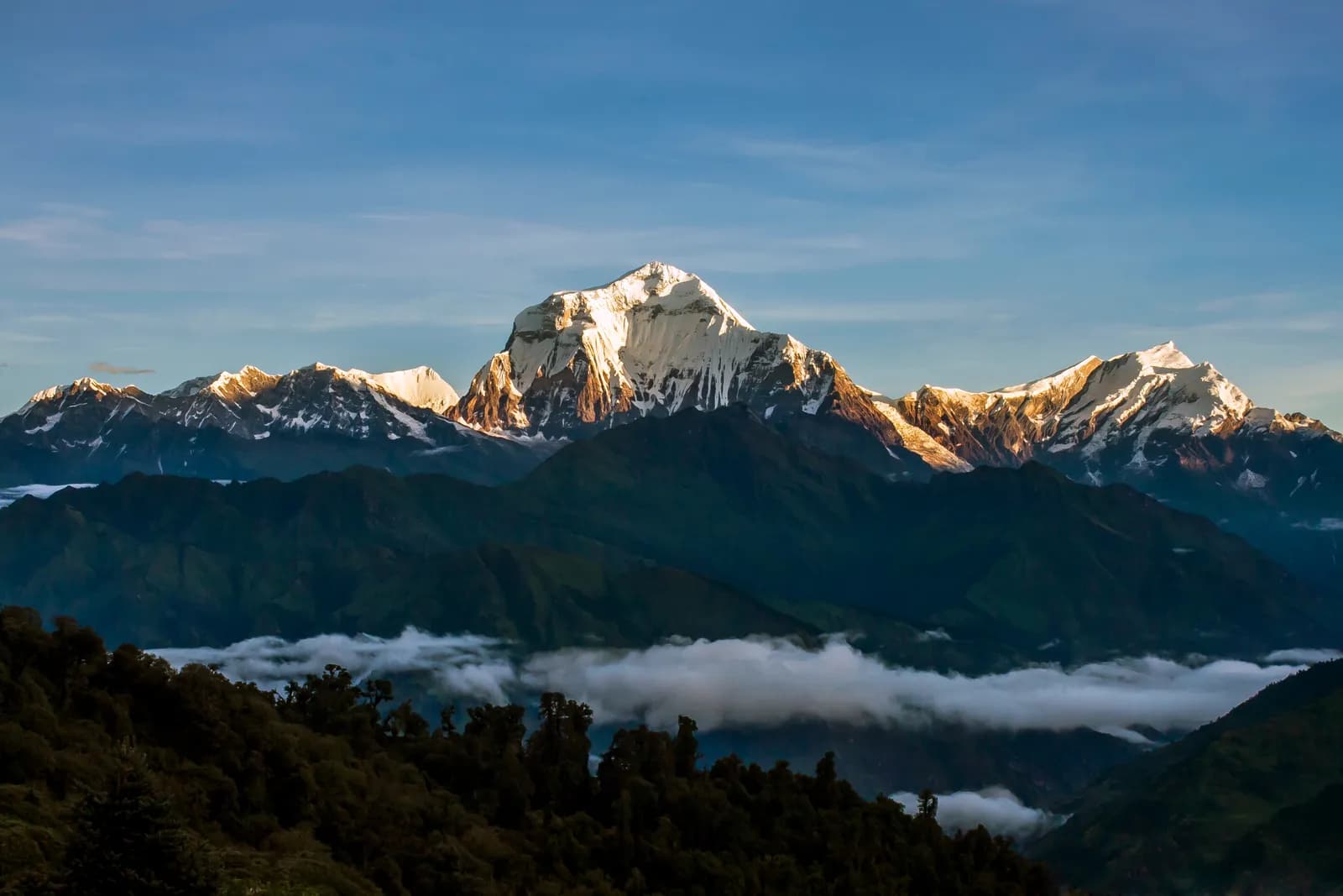
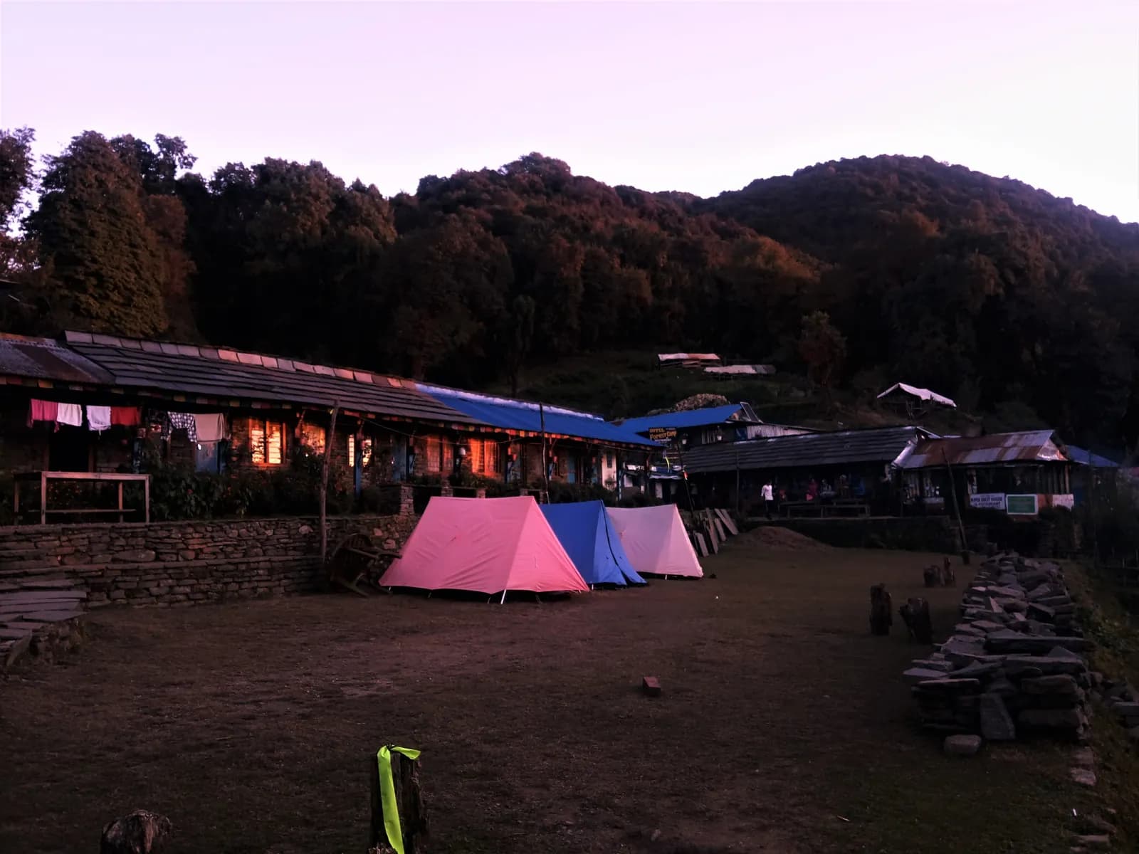
Dhaulagiri Circuit itinerary, day by day
A 17-day Dhaulagiri Circuit itinerary from Pokhara via Beni, Italian Base Camp and Dhaulagiri Base Camp over French Pass and Dhampus Pass to Marpha and Jomsom, with two rest days and the camping reality.
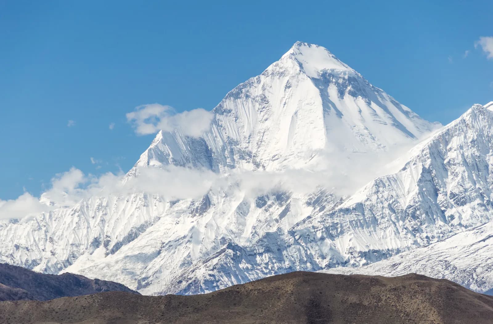
The Dhaulagiri Circuit itinerary here takes 17 days from Pokhara. You drive to Beni, follow the Myagdi Khola up to Italian Base Camp (about 3,660 m) and Dhaulagiri Base Camp (about 4,740 m), cross French Pass (about 5,360 m) into the Hidden Valley, cross Dhampus Pass (about 5,240 to 5,290 m), descend to Marpha and Jomsom and fly back to Pokhara. It is a camping trek with unsupplied nights, glacier moraine and two passes above 5,200 m, and it is one of the hardest standard routes in Nepal.
The plan below lists the stages and the places where things go wrong. The route data is on the Dhaulagiri Circuit page, and the region is introduced in the Dhaulagiri region trekking guide.
ทริปที่เปิดรับใน Dhaulagiri Circuit
ทริปจริงที่นักเทรคโพสต์เพื่อหาเพื่อนร่วมทาง
The 17 days at a glance
| Day | From - to | Time | Sleep |
|---|---|---|---|
| 1 | Pokhara - Beni | 4-5 h drive | 830 m |
| 2 | Beni - Babiachaur | 5-6 h | 950 m |
| 3 | Babiachaur - Dharapani (Myagdi) | 5-6 h | 1,400 m |
| 4 | Dharapani - Muri | 5 h | 1,800 m |
| 5 | Muri - Boghara | 5-6 h | 2,080 m |
| 6 | Boghara - Dobang | 5 h | 2,520 m |
| 7 | Dobang - Choriban Khola | 5 h | 3,110 m |
| 8 | Choriban Khola - Italian Base Camp | 7 h | 3,660 m |
| 9 | Italian Base Camp, rest day | 2-3 h | 3,660 m |
| 10 | Italian Base Camp - Glacier Camp | 6 h | 4,210 m |
| 11 | Glacier Camp - Dhaulagiri Base Camp | 7 h | 4,740 m |
| 12 | Dhaulagiri Base Camp, rest day | 2-3 h | 4,740 m |
| 13 | Base Camp - Hidden Valley over French Pass | 6-7 h | 5,200 m |
| 14 | Hidden Valley - Yak Kharka over Dhampus Pass | 6-7 h | 3,680 m |
| 15 | Yak Kharka - Marpha | 5 h | 2,670 m |
| 16 | Marpha - Jomsom | 2 h | 2,710 m |
| 17 | Jomsom - Pokhara | flight | 830 m |
Days 1 to 4: the valley
Day 1 drives west from Pokhara along the Baglung road to Beni, where the Myagdi Khola meets the Kali Gandaki, in 4 to 5 hours. Buy snacks and batteries now, because nothing is sold above the road. Days 2 and 3 follow the jeep road and footpaths up the Myagdi Khola through Magar farmland, rice and millet terraces and suspension bridges to Babiachaur (about 950 m) and Dharapani (about 1,400 m). This is a Magar settlement in the Myagdi valley, not the Dharapani on the Annapurna Circuit. Day 4 climbs through forest to Muri (about 1,800 m), the last village of any size, and the early days' steady climbing makes it the hardest of the warm-ups.
Days 5 to 8: into the gorge and up to Italian Base Camp
Day 5 follows the river into a deeper gorge to Boghara (about 2,080 m), with steep climbs and several hundred metres of ups and downs. Day 6 reaches Dobang (about 2,520 m), a wilderness campsite with no building, so from now on the crew cooks every meal. Day 7 climbs a rocky trail and crosses landslide-scarred slopes to Choriban Khola (about 3,110 m), the first night above 3,000 m and the first clear view of Dhaulagiri. Day 8 is only about 3.7 km but takes about 7 hours over moraine and boulder fields to Italian Base Camp (about 3,660 m), a flat meadow with streams.
Day 9: rest day at Italian Base Camp
A short, easy walk to a viewpoint above camp, then back to sleep at the same height. Wash, dry boots, repack and check gear: spikes, poles, gaiters and gloves will all be needed. Do not push higher, however well you feel.
Days 10 to 12: Glacier Camp and Dhaulagiri Base Camp
Day 10 climbs onto the glacier moraine and follows a rough, often snow-covered path to Glacier Camp (about 4,210 m), about 7 km with a high point before the descent to camp. Parts of the route lie in a narrow gorge where stones fall, so move one at a time through exposed sections. Day 11 walks up the glacier valley to Dhaulagiri Base Camp (about 4,740 m), about 6.3 km and a day of about 7 hours that tests your breathing, at the foot of the huge north face. Day 12 is the second rest day, mostly for resting, with two to three hours of gentle walking at most. Your guide checks the forecast and the snow on French Pass and sets the start time.
Day 13: French Pass to the Hidden Valley
The crux. A very early start climbs steep snow and scree to French Pass, which operators put at about 5,360 m, with a spread between 5,240 and 5,370 m. On the mapped route the day is about 8.4 km with a climb of about 620 m, but operators allow 6 to 7 hours because of the snow and the altitude. The reward is a view across to Dhaulagiri and Tukuche Peak and a descent into the Hidden Valley, a high basin at about 5,100 to 5,200 m, where camp is cold, usually well below freezing.
Days 14 to 17: Dhampus Pass and out
Day 14 climbs to Dhampus Pass (about 5,240 to 5,290 m), looks across to Nilgiri and the Annapurna range, and then drops about 1,660 m over 14 km to the yak pastures at Yak Kharka (about 3,680 m). The descent can be icy or loose, and the air thickens quickly. Day 15 descends about 1,080 m to Marpha (about 2,670 m), a village of flat-roofed whitewashed houses with apple orchards, where lodges and showers return. Day 16 is a short walk to Jomsom. Day 17 is the flight to Pokhara, about 20 minutes, usually in the early morning; if wind keeps the plane on the ground, a jeep takes most of a day. Read Pokhara to Jomsom: flight versus jeep and the Lower Mustang and Kali Gandaki guide for the last stretch.
What decides this trek
Three things. First, the sleeping profile: seven nights above 3,000 m, four above 4,000 m and one at about 5,100 to 5,200 m. The two rest days at Italian Base Camp and Dhaulagiri Base Camp are not optional, and they match the guidance from the Wilderness Medical Society and CDC Yellow Book: sleep high gains in modest steps, rest days above 3,000 m, no ascent with symptoms, and descent for worsening symptoms. If someone is sick, the way down is back along the valley, not over the pass. Our acclimatisation schedule and altitude sickness basics cover the rules.
Second, the passes. French Pass and Dhampus Pass are snow and scree days with an alpine start, and weather decides them. Operators advise micro-spikes or light crampons, poles and gaiters, and some carry a light ice axe. Read crampons and microspikes for high passes and snow and high-pass conditions.
Third, the camping. Nobody sells anything above the road, the crew carries tents, kitchen and food, and nights can fall far below freezing in the Hidden Valley. Insurance must cover helicopter evacuation.
Permits and the guide rule
You need the Annapurna Conservation Area entry permit, NPR 3,000 for foreigners as of October 2026 (NPR 1,000 for SAARC nationals, children under 10 free; online payment adds 2.9 percent and check-post issue costs double), and a TIMS card issued through a registered agency. Our route data does not list the circuit as a restricted area. A licensed guide through a registered agency is required in restricted areas, and under the Nepal Tourism Board rule of April 2023 in national parks and conservation areas, where 2026 operator reports say checkpoints enforce it in Annapurna and Langtang but not in Khumbu (checked 19 October 2026). Whatever the checkpoint position, this route is run with a guide and crew in practice. See the guide rule by region.
Season, costs and sharing
Late March to early May and October to mid-November are the windows. Operators advise against the monsoon and winter, and say snow, wind and whiteout are possible on the passes even in season. The route data counts 16 guide days and 15 porter days, and notes that crew, tents, kitchen and food are quoted by the agency and are not in the estimate. The Jomsom to Pokhara flight is about USD 120 to 200 each way as of October 2026, and the Pokhara to Beni road is a line to check. As of October 2026 the Annapurna cost data gives a guide day of NPR 2,700 to 4,000 and a porter day of NPR 2,100 to 3,400 as operator market ranges, not official rates.
Because the crew and the guide cost the same for one trekker as for four, sharing is how this trek becomes affordable. Post your dates on the Dhaulagiri partner page, and read what to agree with trekking partners before you book, especially what happens if one of you cannot cross French Pass. See the route guides category and the day-by-day itineraries hub for the others.
The regional data is on the Dhaulagiri region page.