

4 artikel
Artikel trekking Rolwaling
Artikel praktikal tentang trekking di Rolwaling: laluan, kos, permit, musim dan keselamatan.
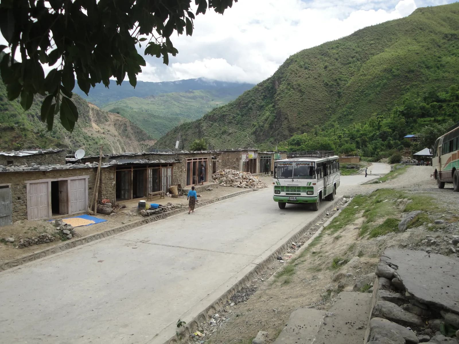 Foto muka depan: Krish Dulal, CC BY-SA 3.0
road safetyjeepbus
The road to the trailhead is often the riskiest part of a Nepal trek. This guide covers how to choose a vehicle and driver, monsoon landslides on the Langtang, Manaslu and Rolwaling roads, what to do on the road and how to build slack into the plan.
Bacaan 7 minit
 Foto muka depan: Santosh Mishra, CC BY-SA 4.0
rolwalingpermitsconservation-area
What the Rolwaling trek needs: the Gaurishankar Conservation Area entry permit, TIMS, the guide position, why it is not a restricted area, and where to confirm the fee and the Tashi Lapcha permit.
Bacaan 6 minit
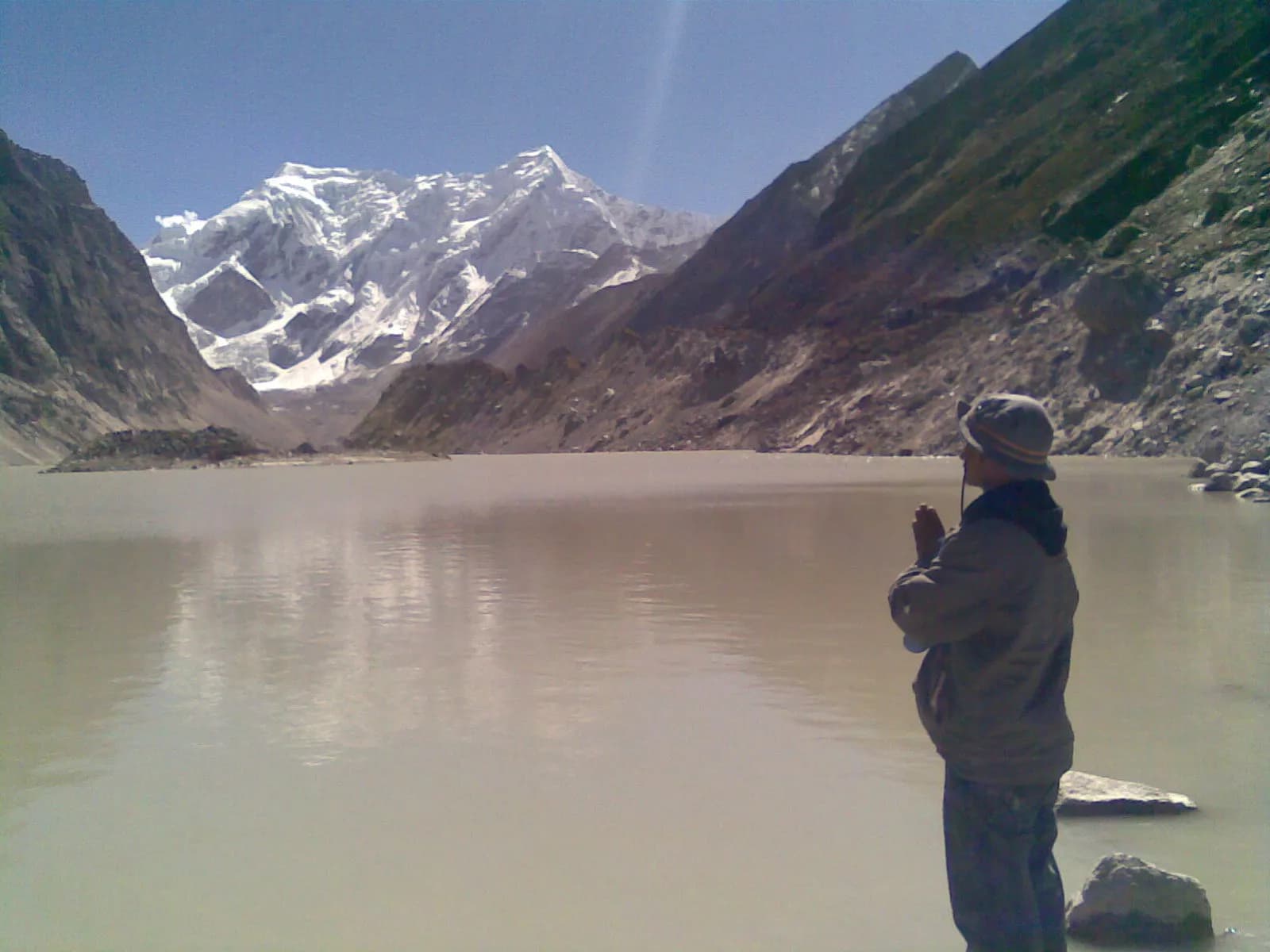 Foto muka depan: Kapilkhatri19, CC BY-SA 3.0
rolwalingitinerarytsho-rolpa
An 11-day Rolwaling itinerary from Chetchet to Tsho Rolpa via Simigaon, Dongang, Beding and Na, with distances, climbs, sleeping altitudes and the long descent back to the road.
Bacaan 7 minit
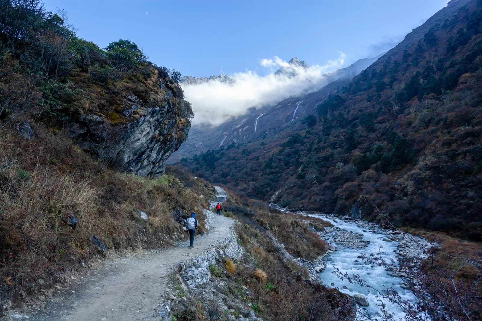 Foto muka depan: Nammy Hang Kirat, CC BY-SA 4.0
rolwalingtsho-rolpagaurishankar
What trekking in Rolwaling involves: the Chetchet road, the Sherpa villages, Tsho Rolpa glacial lake, Gaurishankar Conservation Area rules, seasons and who the trek suits.
Bacaan 6 minit