Everest Three Passes itinerary, day by day
An 18-day Everest Three Passes itinerary with sleeping altitudes, the three pass days (Kongma La, Cho La, Renjo La) in detail, the weather and snow calls and how to shorten it.

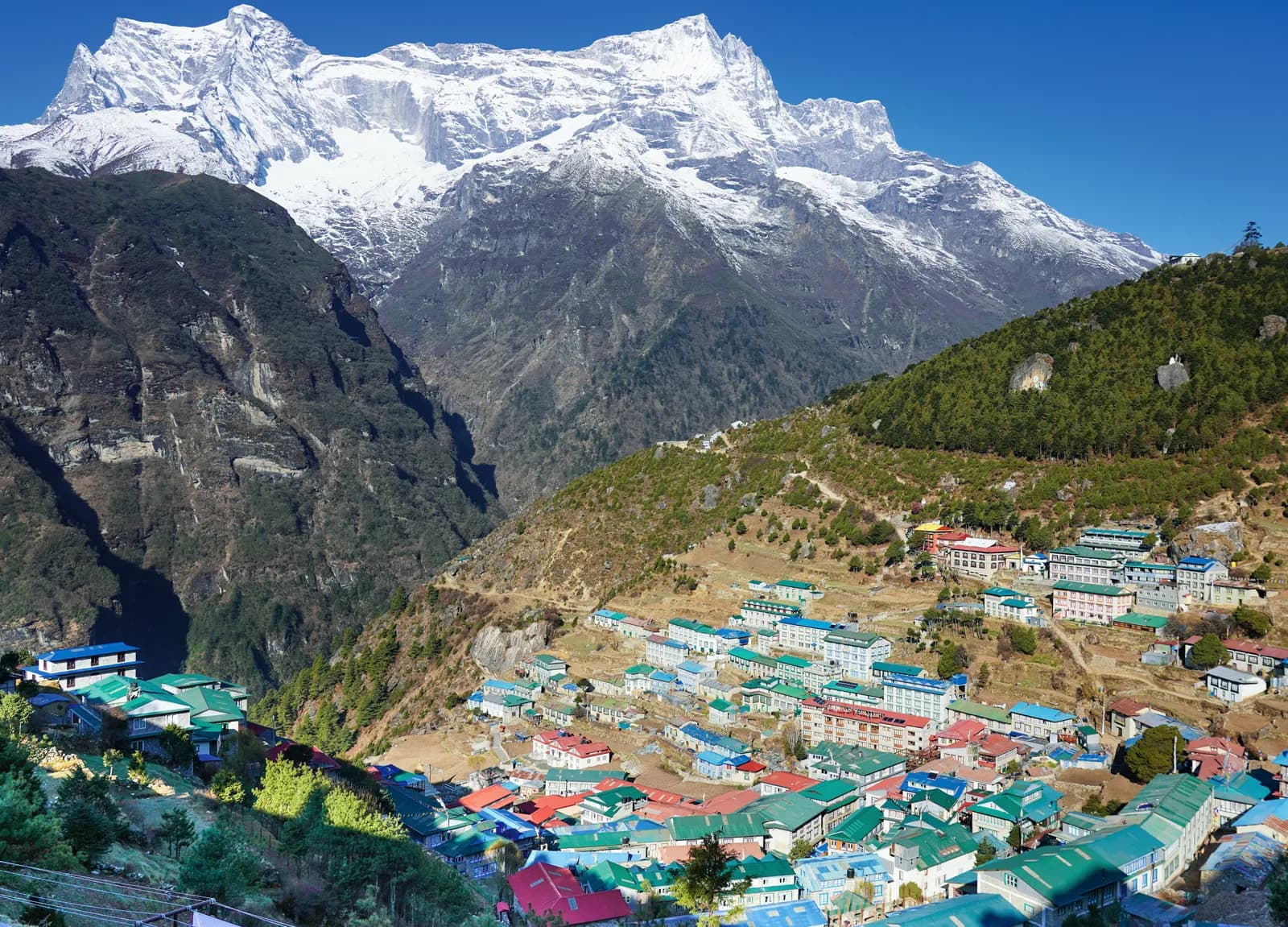
The Everest Three Passes itinerary here takes 18 days: the first six days follow the Everest Base Camp route to Dingboche, then you cross Kongma La, visit Base Camp and Kala Patthar, cross Cho La to the Gokyo lakes, climb Gokyo Ri and cross Renjo La to the Thame valley before returning to Lukla. You cross three passes at roughly 5,350 to 5,535 m, each a full day of seven to nine hours. It is the hardest of the classic Khumbu treks and the one where a flexible schedule matters most.
Below is the day plan with the sleeping altitude, the pass days in detail and the points where you may need to wait or turn back. The data is on the Everest Three Passes route page and the Everest region guide. If you are weighing it against the shorter version, read the Everest Base Camp itinerary first.
Trip terbuka di Everest Three Passes Trek
Trip nyata yang diposting trekker yang mencari teman.
The 18 days at a glance
| Day | From - to | Time | Sleep |
|---|---|---|---|
| 1 | Lukla - Phakding | 3-4 h | 2,610 m |
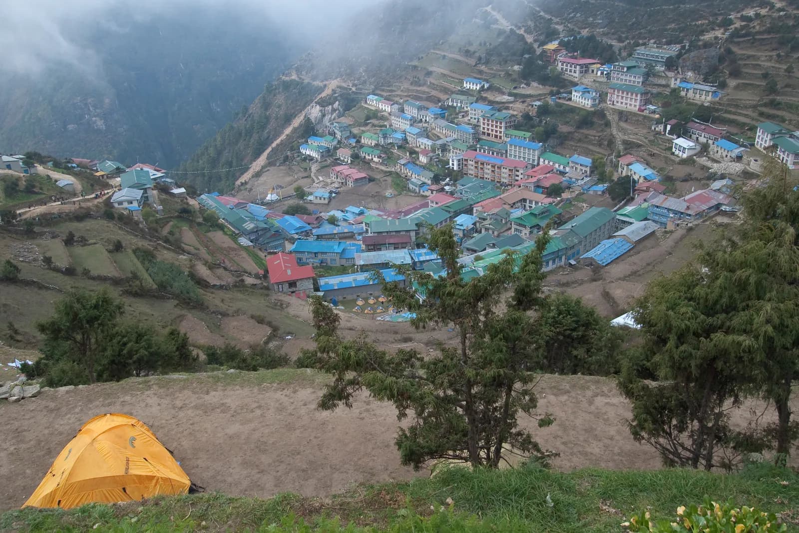
| 2 | Phakding - Namche Bazaar | 5-6 h | 3,440 m |
| 3 | Namche (rest) | 3 h | 3,440 m |
| 4 | Namche - Tengboche | 5-6 h | 3,860 m |
| 5 | Tengboche - Dingboche | 5 h | 4,410 m |
| 6 | Dingboche (rest) | 3 h | 4,410 m |
| 7 | Dingboche - Chhukung | 3-4 h | 4,730 m |
| 8 | Chhukung - Kongma La - Lobuche | 8-9 h | 4,940 m |
| 9 | Lobuche - Gorak Shep - Base Camp | 7-8 h | 5,164 m |
| 10 | Kala Patthar - Dzongla | 7-8 h | 4,830 m |
| 11 | Dzongla - Cho La - Thagnak | 7-9 h | 4,700 m |
| 12 | Thagnak - Gokyo | 3-4 h | 4,790 m |
| 13 | Gokyo (rest), Gokyo Ri | 3-4 h | 4,790 m |
| 14 | Gokyo - Renjo La - Lungden | 7-8 h | 4,380 m |
| 15 | Lungden - Thame | 5-6 h | 3,820 m |
| 16 | Thame - Namche | 5 h | 3,440 m |
| 17 | Namche - Lukla | 7 h | 2,860 m |
| 18 | Lukla - Kathmandu | flight | 1,400 m |
Days 1 to 6: the same acclimatisation as Base Camp
The first six days match the standard route: fly to Lukla, sleep at Phakding, Namche (two nights), Tengboche and Dingboche (two nights). The details are in our Everest Base Camp day by day page. The rest days at Namche and Dingboche are not optional on this trek, because the passes are far harder than anything on the standard route.
Day 7: Dingboche to Chhukung (4,730 m)
A short walk up the Imja valley, with Ama Dablam, Nuptse and Lhotse close on either side. Chhukung is a small cluster of lodges at the end of the valley with a bakery that trekkers like. Keep your legs fresh for tomorrow. Check the weather and pass conditions with your guide tonight.
Day 8: Kongma La (about 5,535 m) to Lobuche (4,940 m)
The first and highest pass. Start before dawn and climb the moraine and scree above Chhukung to the first col, then cross a high basin with views of Makalu and Island Peak before the steep final ascent. The descent is over loose rock to the Khumbu Glacier, where the route crosses ice-covered moraine to the lodges at Lobuche. It takes eight to nine hours and the top is cold and windy. Keep the group together.
Day 9: Gorak Shep and Everest Base Camp
Follow the moraine beside the Khumbu Glacier to Gorak Shep (5,164 m), then walk to Everest Base Camp (about 5,364 m) after lunch and come back to sleep. Everest is hidden behind Nuptse, though the Khumbu Icefall hangs above. Eat as much as you can, even if appetite is poor.
Day 10: Kala Patthar and Dzongla (4,830 m)
Climb Kala Patthar (about 5,550 m) before sunrise to watch the light on Everest, Nuptse and Pumori. After breakfast retrace the valley to Lobuche and take the side valley east to Dzongla, under the cliffs of Cholatse and Tawache. The lower altitude of Dzongla helps recovery, but the evenings are very cold.
Day 11: Cho La (about 5,370 m) to Thagnak (4,700 m)
The second pass. Start in the dark and climb a steep rocky path, then cross a glacier on the west side where microspikes may be needed. The descent is over loose rock and snow to the Thagnak valley. It is seven to nine hours and needs focus. Your guide judges conditions at the top: if it has snowed recently, expect to wait or to change plans.
Days 12 and 13: Gokyo (4,790 m)
A short day across the Ngozumpa Glacier, the longest in Nepal, to Gokyo on the shore of the third lake, then a rest day. Climb Gokyo Ri (5,357 m) before sunrise in two to three hours for a view of Everest, Lhotse, Makalu and Cho Oyu. Conserve energy afterwards: Renjo La is next.
Day 14: Renjo La (about 5,400 m) to Lungden (4,380 m)
The third pass. Climb steadily from Gokyo along the lake and up a stone staircase and scree to the top, with a view across the Gokyo lakes to Everest and back toward Cho Oyu. The descent to Lungden is steep. The weather is often clear in the morning but windy by afternoon, so start early.
Days 15 to 18: down the Bhote Koshi
Day 15 follows the Bhote Koshi valley to Thame (3,820 m), a Sherpa village with an old gompa. Day 16 descends through Thamo to Namche. Day 17 goes down the Dudh Koshi to Lukla over the Hillary Bridge. Day 18 is the flight back to Kathmandu; if cloud closes the runway you may wait a day or more, so keep a spare day.
Decision points on the passes
| Pass | What can stop you | What to do |
|---|---|---|
| Kongma La | Wind, fresh snow, headache from the sleeping altitude | Wait at Chhukung, or take the valley route back through Dingboche to Lobuche |
| Cho La | Recent snowfall, icy glacier crossing | Wait a day at Dzongla, use microspikes, trust the guide |
| Renjo La | Wind, cloud, tired legs after Gokyo Ri | Rest at Gokyo and start at first light |
How to shorten it
If 18 days is too long, skip the Renjo La section and return from Gokyo down the valley, or do only Gokyo Lakes as a standalone trek. Never shorten the acclimatisation days: the CDC guidance on a slow ascent matters more here than on any other Khumbu route, and our altitude sickness basics lists what to watch. See the itinerary index for alternatives, and how to find a partner if you are going alone. A long route like this needs someone who can notice changes in you.