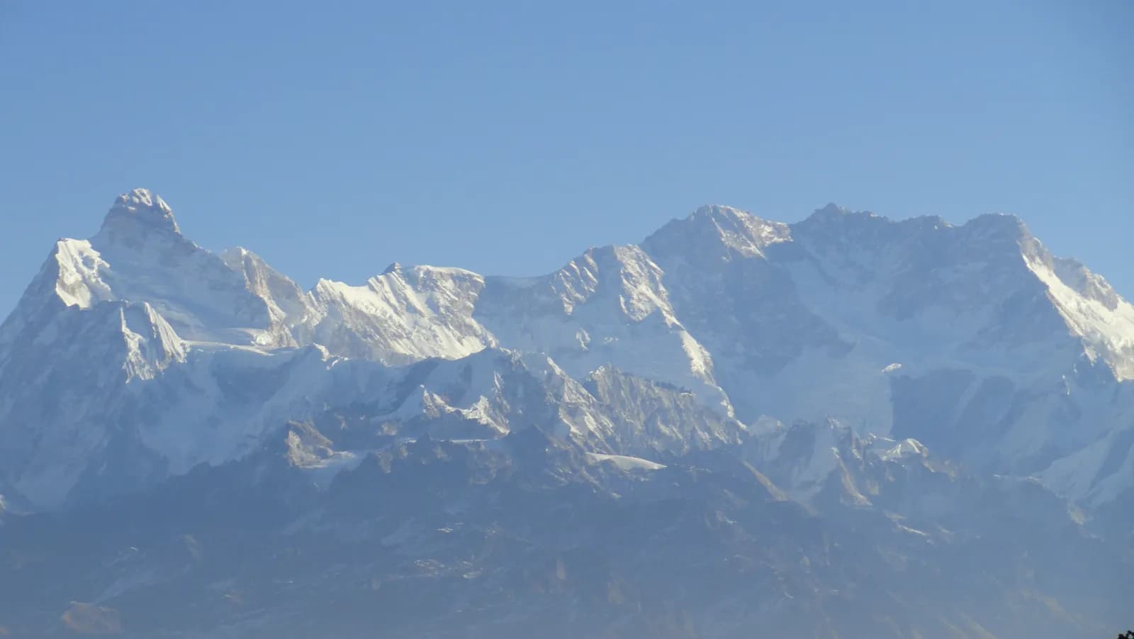
Kanchenjunga north and south base camp itinerary
A 21-day Kanchenjunga itinerary with sleeping altitudes, walking times, the pass day between Selele and Tseram, and how to cut it to a north-only or south-only trek.

This itinerary takes 21 days from Kathmandu: a flight to Bhadrapur, two drives to the roadhead at Sekathum, nine walking days up the north side to Pangpema (about 5,140 m) and back to Ghunsa, a one-day crossing of three passes, three days around Ramche on the south side, and a descent to Yamphudin and the long road back. It is a restricted-area trek, so a Restricted Area Permit, a registered agency and a licensed guide are part of the plan from the start. The route data is on the Kanchenjunga Circuit page and the background is in the Kanchenjunga region guide.
Use the table to see the shape of the trek, then read the day notes for what each stage demands. Walking times are estimates from distance and climb, checked against operator itineraries; real times depend on pace, load and weather.
טיולים פתוחים בKanchenjunga Circuit
טיולים אמיתיים שפרסמו מטיילים שמחפשים שותפים.
The 21 days at a glance
| Day | From - to | Time | Sleep |
|---|---|---|---|
| 1 | Kathmandu - Bhadrapur (flight) | about 1 h flight | about 100 m |
| 2 | Bhadrapur - Taplejung (drive) | 9-10 h | about 1,770 m |
| 3 | Taplejung - Sekathum (jeep) | 4-5 h | about 1,850 m |
| 4 | Sekathum - Amjilosa | 4.5-6 h | about 2,440 m |
| 5 | Amjilosa - Gyabla | 3.5-5 h | about 2,710 m |
| 6 | Gyabla - Ghunsa | 4.5-6 h | 3,440 m |
| 7 | Ghunsa (rest) | 3-4 h hike | 3,440 m |
| 8 | Ghunsa - Kambachen | 5-6 h | about 4,090 m |
| 9 | Kambachen - Lhonak | 6-7 h | about 4,770 m |
| 10 | Lhonak - Pangpema - Lhonak | 9-10 h | about 4,770 m |
| 11 | Lhonak - Ghunsa | 5-7 h | 3,440 m |
| 12 | Ghunsa - Selele | 5-6 h | about 4,210 m |
| 13 | Selele - three passes - Tseram | 6-8 h | about 3,860 m |
| 14 | Tseram - Ramche | 3-4 h | about 4,480 m |
| 15 | Ramche (rest, Oktang walk) | 4-5 h | about 4,480 m |
| 16 | Ramche - Tseram | 2-3 h | about 3,860 m |
| 17 | Tseram - Tortongdin | 2-3.5 h | about 3,000 m |
| 18 | Tortongdin - Yamphudin | 5-7 h | about 1,700 m |
| 19 | Yamphudin - Taplejung (jeep) | 6-7 h | about 1,770 m |
| 20 | Taplejung - Bhadrapur (drive) | 9-10 h | about 100 m |
| 21 | Bhadrapur - Kathmandu (flight) | about 1 h flight | about 1,400 m |
Days 1 to 3: flight and two drives
Day 1 is a short flight to the Terai, where you can check permit papers and repack. Cloud often delays Bhadrapur flights, so nothing tight should follow. Day 2 is the 9 to 10 hour drive to Taplejung (also called Phungling), through tea country and the hills of Ilam or Phidim, so carry water and snacks. Day 3 is a 4 to 5 hour rough jeep drive to Sekathum, the roadhead and first checkpost. Keep your passport and permit copies within reach, because check posts appear here and again at Ghunsa and Lhonak.
Days 4 to 6: terraces, forest and the first village above 3,000 m
The first walking day is about 8 km with about 1,100 m of climbing, so give it 4.5 to 6 hours. The trail follows the river, crosses it on a suspension bridge and climbs through terraced fields and bamboo to Amjilosa. Humidity and leeches in wet weather are the main nuisances. Day 5 to Gyabla is short, about 7 km and 660 m of gain, and gives you the afternoon to rest. Day 6 to Ghunsa covers about 10 km and 800 m through rhododendron and fir, crossing the Ghunsa Khola several times on suspension bridges. Ghunsa has a gompa, a school and a health post. Put on warm layers early, because nights here are cold.
Day 7: rest at Ghunsa
Walk slowly to the monastery above the village or up the side valley toward Ghunsa Kharka, then return and rest. The point is to sleep at the same height as the night before and let your body adjust. Watch for headache, nausea and poor sleep, and talk through the weather and the route with your guide.
Days 8 to 10: Kambachen, Lhonak and Pangpema
Day 8 climbs about 730 m over about 10 km to Kambachen, passing landslide zones and wooden bridges, with views of Jannu and Kangbachen. Kambachen is a seasonal settlement of stone lodges and herders' huts at the head of the valley, and nights are cold enough to freeze a water bottle. Day 9 is about 9 km and 670 m on moraine to Lhonak, with the Jannu viewpoint on the way and views of the Kangchenjunga glacier. The day plan gives the time as 6 to 7 hours in the table field and 4 to 5 hours in the description, so budget the longer figure.
Day 10 is the big one: about 15 km out and back with 550 m of climbing to Pangpema, 9 to 10 hours in good conditions, following the moraine of the Kangchenjunga glacier. Start early, carry food and water, and turn around if weather or symptoms demand it. You return to sleep at Lhonak.
Day 11: down to Ghunsa
About 20 km, a loss of 1,420 m and 5 to 7 hours. The thicker air helps appetite and sleep, and Ghunsa's lodges serve hot meals. Poles help your knees.
Days 12 and 13: Selele and the three passes
Day 12 is short but steep: about 6 km and 840 m of climbing to Selele, a small seasonal camp. This is where the weather decision is made. If snow is falling or fresh, your guide may delay a day.
Day 13 crosses the Sele La (about 4,640 m), the Mirgin La (about 4,650 m) and the Sinelapche La (about 4,709 m), then drops to Tseram at about 3,860 m. It is about 9 km with 610 m of climbing and 940 m of descent, slow, rocky and exposed, so allow 6 to 8 hours. Carry lunch and water, start early and keep together. The pass heights are from OpenStreetMap, so other sources may differ by a few metres.
Days 14 to 16: Ramche and the Yalung glacier
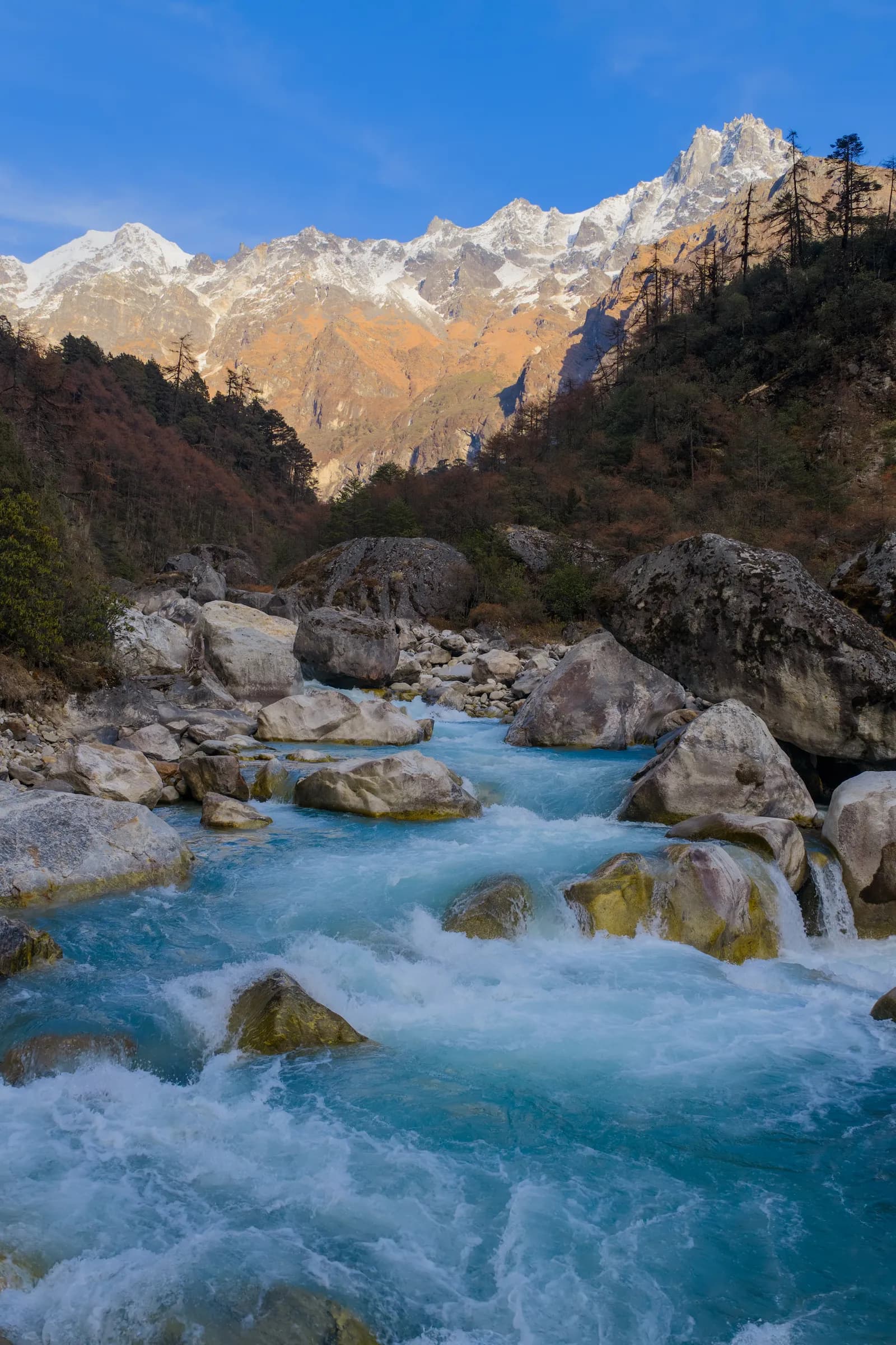
From Tseram it is about 7 km and 620 m up to Ramche in 3 to 4 hours, on the moraine through rhododendron, juniper and dwarf bushes with views of Kabru, Rathong and the Yalung glacier. Day 15 is an acclimatisation walk toward Oktang, about 290 m of climbing on a clear path to a viewpoint above the glacier with views of the south face and Yalung Kang. Stay on the signed route without your guide's say-so. Day 16 is a 2 to 3 hour descent back to Tseram.
Days 17 to 21: out through the Limbu villages
Day 17 drops about 870 m over 8.6 km to Tortongdin in 2 to 3.5 hours. Day 18 is the knee-testing day: about 13 km with 2,080 m of descent and 770 m of climbing to Yamphudin, in 5 to 7 hours, through cardamom fields. Day 19 is a 6 to 7 hour jeep to Taplejung, passing Khebang and Phumphedanda on a road that landslides can block in the monsoon. Book the vehicle in advance. Days 20 and 21 reverse the drive and flight.
How the sleeping altitudes build
Read the sleep column as a profile. The trek climbs from about 1,850 m at Sekathum to 3,440 m at Ghunsa in three nights, then pauses for a rest day. From there Kambachen (about 4,090 m) and Lhonak (about 4,770 m) add roughly 650 m and 680 m of sleeping altitude, which is a quick rate of ascent, so the rest day at Ghunsa and the slow pace on days 8 and 9 matter. After Pangpema the trek drops to 3,440 m, which resets you before the pass approach: Selele at about 4,210 m is a lower sleep than Lhonak. Ramche at about 4,480 m is the second-highest night. If you feel unwell at Lhonak, the sensible answer is to descend rather than to try for Pangpema. Our acclimatisation schedule explains the general rules.
Cutting the itinerary
For the north base camp only, go from Pangpema back to Sekathum in the same days you used going up, which saves about five days. For the south side alone, agencies run Yamphudin to Ramche and back as a 14 to 16 day trek. Both shorter versions skip the pass day, which is the part that depends most on snow. The circuit's route page lists optional extensions such as the Pathibhara temple above Taplejung.
What to pack for this specific route
A sleeping bag rated to about minus 15 C, a down jacket, gaiters and microspikes for the pass in early or late season, poles for the 2,080 m descent on day 18, and a rain shell for the forest sections. Cash in small notes, because there are no machines beyond Taplejung. See our packing list for the rest.
How this compares with other itineraries
At 21 days and about 143 km on foot with 8,200 m of climbing, this is longer than any trek in the route itinerary hub except the Upper Dolpo loop. If your time is limited, look at the Everest Three Passes itinerary for another pass-heavy trek with more lodges.